





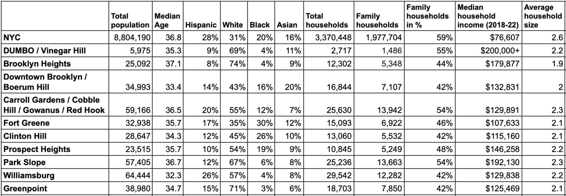
DUMBO and Vinegar Hill have the highest household incomes and highest percentage of family households, Williamsburg’s population has the youngest average age, and Brooklyn Heights has the oldest. All of this data about our neighborhoods is now up to date and and free to access with an interactive online tool created by the Department of City Planning. Here is our overview of 2020 census data in our Brooklyn neighborhoods, including statistics on total population, age, race, family households, average household income, and median rent and sales prices.
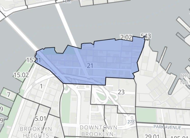
The NYC Population FactFinder now includes 2020 Census statistics, offering a detailed picture of current demographics in New York City. The FactFinder allows you to select any area to study, whether a smaller neighborhood or larger district, and dive into population data about your selected area.
#1 DUMBO

#2 Park Slope
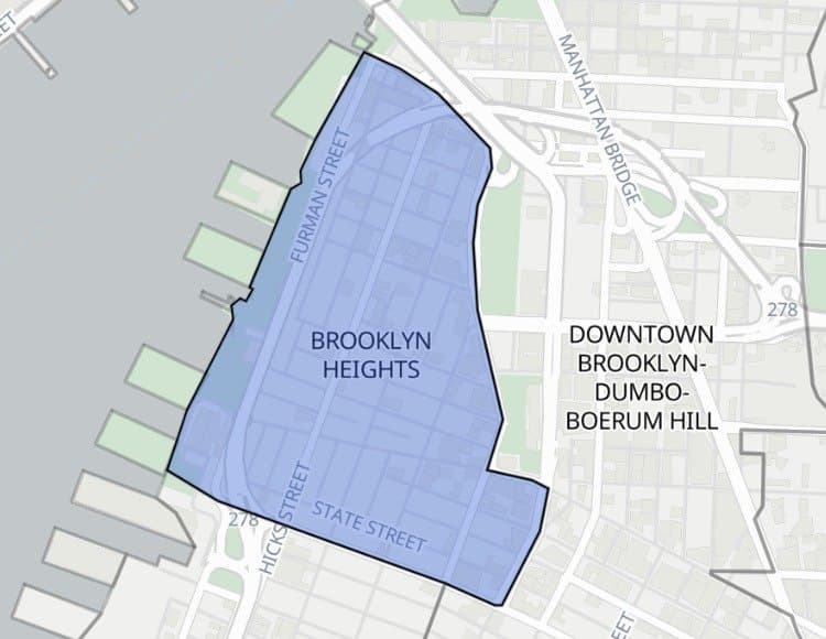
#3 Brooklyn Heights
#4 Prospect Heights
#5 Downtown Brooklyn | Boerum Hill
#6 Carroll Gardens, Cobble Hill, Gowanus, Red Hook
#7 Williamsburg
#8 Greenpoint
#9 Clinton Hill
#10 Fort Greene
#1 DUMBO | 55%
#2 & #3 Carroll Gardens, Cobble Hill, Gowanus, Red Hook, Park Slope | 54%
#4 Prospect Heights | 48%
#5 Fort Greene | 46%
#6 Brooklyn Heights | 44%
#7, #8, #9 & #10 Downtown Brooklyn, Boerum Hill, Clinton Hill, Greenpoint and Williamsburg | 42%
Total population: 5,975
Median age: 35.3
Race demographics: Hispanic 9%, White 69%, Black 4%, Asian 11%
Total households: 2,717
DUMBO & Vinegar Hill has the highest percentage of family households, at 55% (1,486 family households).
DUMBO & Vinegar Hill has the highest median household income in our neighborhoods, at $200,000+ for 2018-2022.
Average household size: 2.2
Total population: 25,092
Brooklyn Heights has the oldest median age at 37.1.
Race demographics: Hispanic 8%, White 74%, Black 4%, Asian 9%
Total households: 12,302
Family households: 5,348 (44% of households)
Median household income: $179,877
Brooklyn Heights has the smallest average household size, at 1.9.
Total population: 34,993
Median age: 33.4
Race demographics: 14% Hispanic, 43% White, 16% Black, 20% Asian.
Total households: 16,844
Family households: 7,107 (42% of households)
Median household income: $132,831
Average household size: 2.0
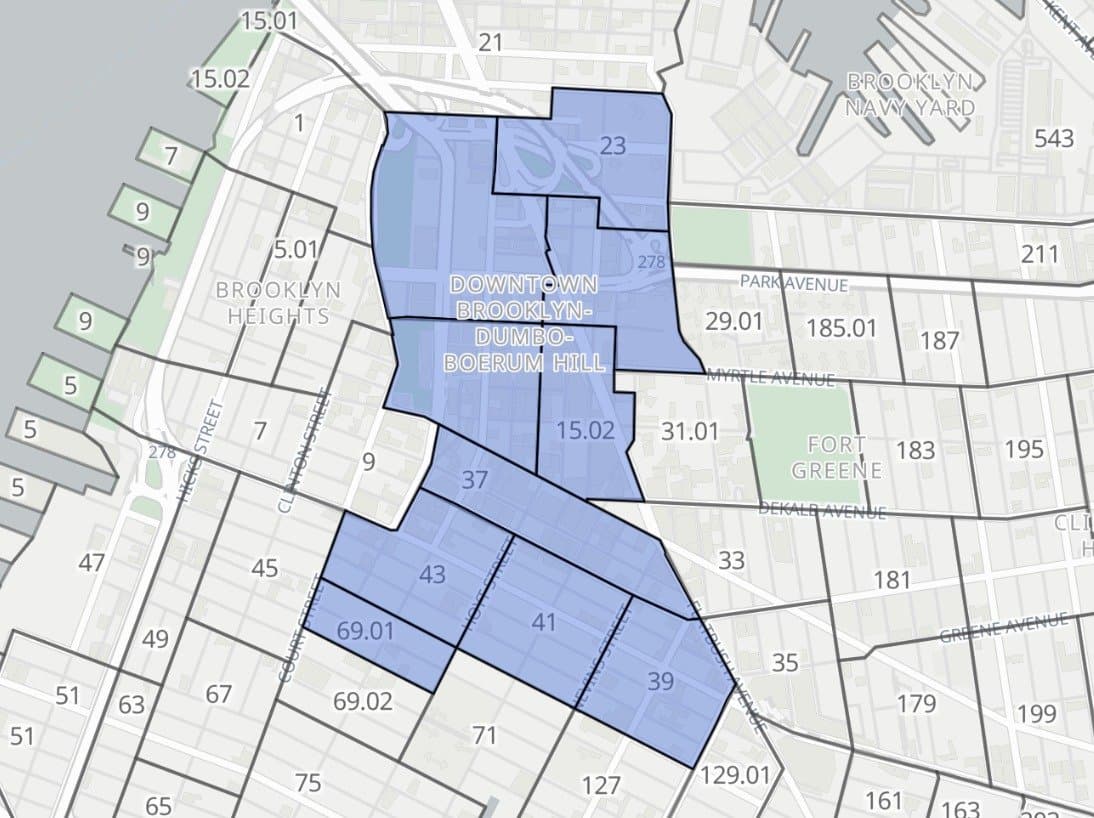
Total population: 59,166
Median age: 36.5
Race demographics: 20% Hispanic, 55% White, 12% Black, 7% Asian
Total households: 25,630
Family households: 13,942 (54% of households)
Median household income: $129,891
This area has the largest average household size, at 2.27.
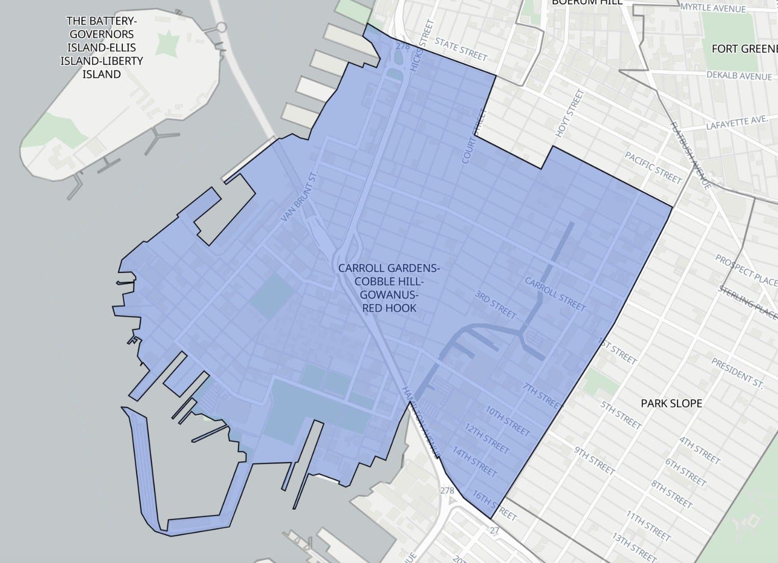
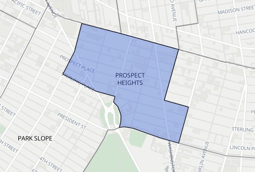
Total population: 32,938
Median age: 35.7
Race demographics: 17% Hispanic, 35% White, 30% Black, 12% Asian. This area is more racially diverse than other neighborhoods.
Total households: 15,093
Family households: 6,922 (46% of households)
Median household income: $107,633
Average household size: 2.1
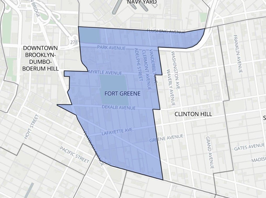
Total population: 28,647
Median age: 34.3
Race demographics: 12% Hispanic, 45% White, 26% Black, 10% Asian
Total households: 13,060
Family households: 5,532 (42% of households)
Median household income: $115,160
Average household size: 2.1
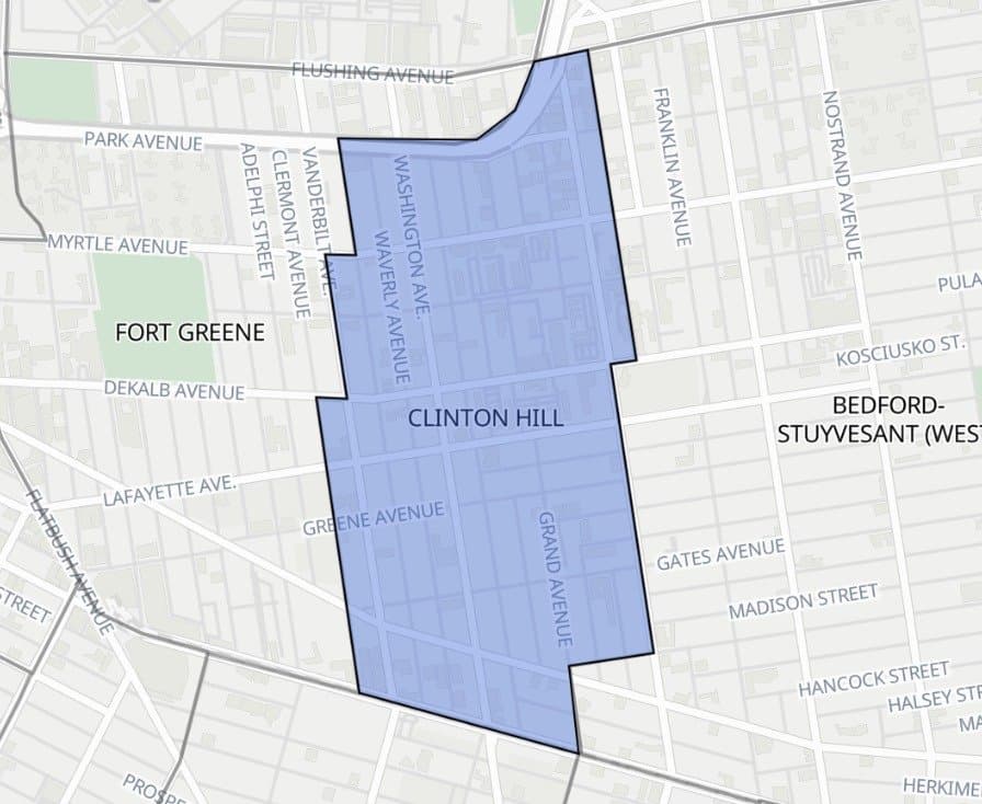
Total population: 23,515
Median age: 35.7
Race demographics: 10% Hispanic, 54% White, 19% Black, 9% Asian
Total households: 10,845
Family households: 5,249 (48% of households)
Median household income: $146,258
Average household size: 2.2
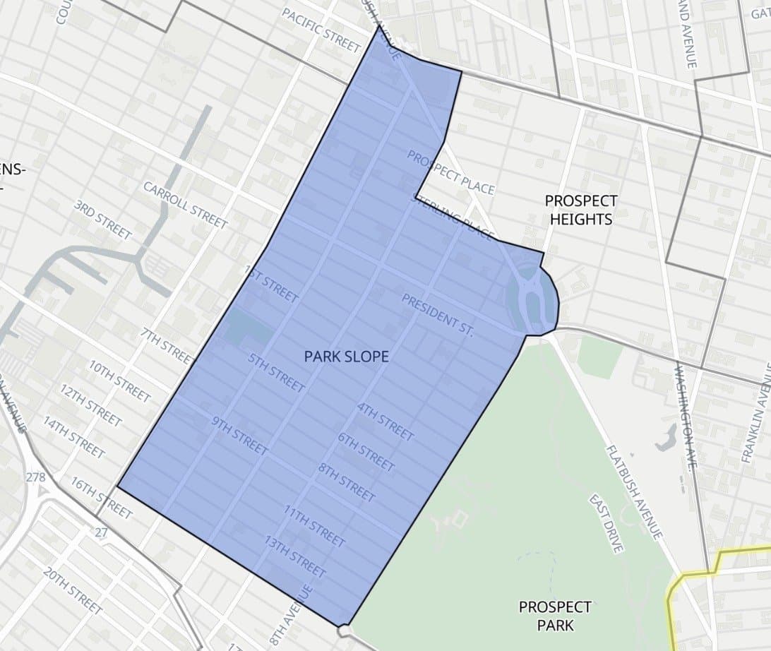
Total population: 57,405
Median age: 36.7
Race demographics: 12% Hispanic, 67% White, 6% Black, 8% Asian
Total households: 25,236
Family households: 13,663 (54% of households)
Median household income: $192,130
Average household size: 2.3
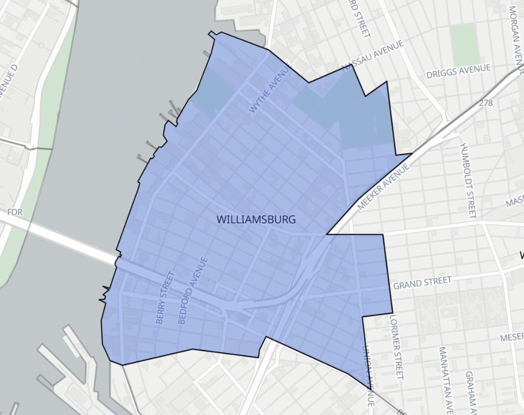
Total population: 64,444
Williamsburg has the youngest median age, 32.3.
Race demographics: 26% Hispanic, 57% White, 4% Black, 8% Asian
Total households: 29,542
Family households: 12,282 (42% of households)
Median household income: $129,838
Average household size: 2.2
Total population: 38,980
Median age: 34.7
Race demographics: 15% Hispanic, 71% White, 3% Black, 6% Asian.
Total households: 18,703
Family households: 7,850 (42% of households)
Median household income: $125,469
Average household size: 2.1
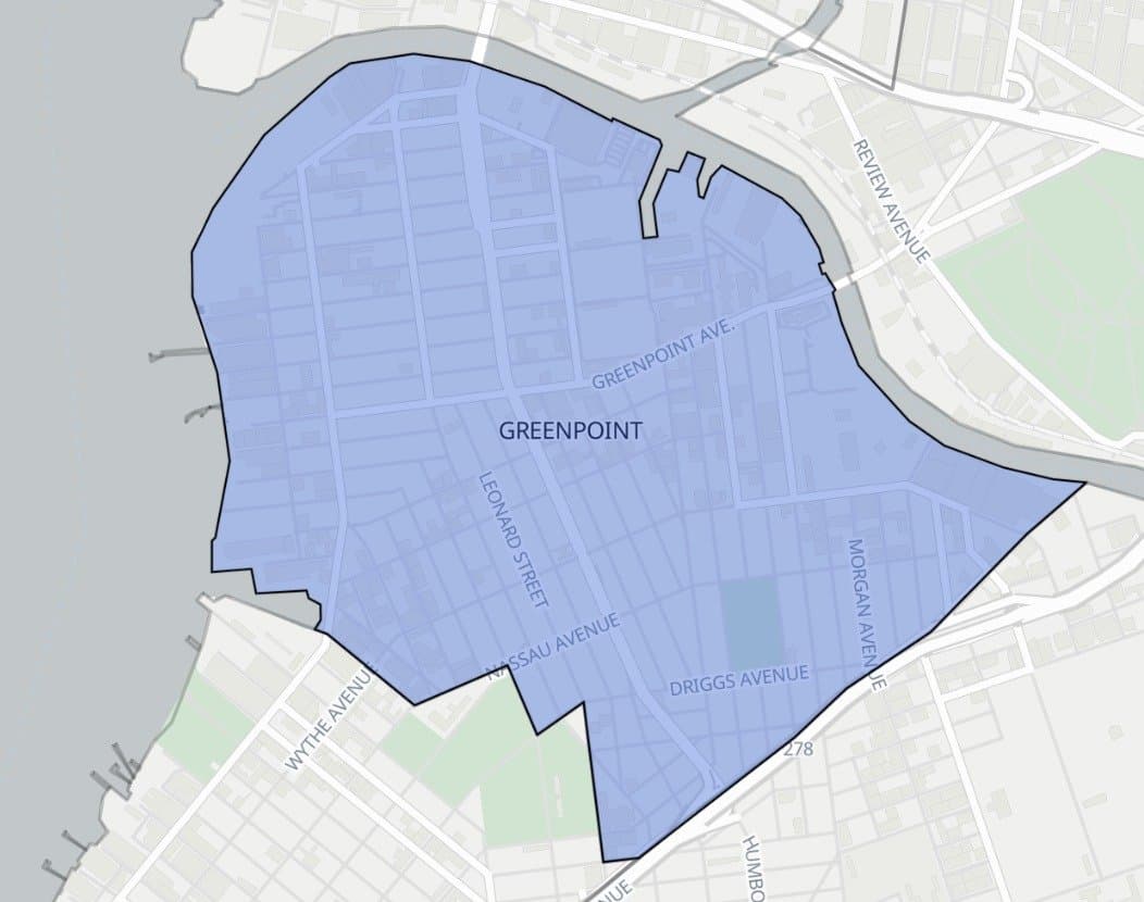
The FactFinder also allows you to compare and contrast data for selected areas against overall New York City statistics, boroughs, or other neighborhoods or districts. The tool can also show you how a selected area has changed over time. Finally, users can also add map layers to see things like the subway system, population density, or the locations of schools.
Updated: July 9, 2024. Main Image: A neighborhood street in Greenpoint, Brooklyn.